The Old Meadow House
Introduction
The photograph on this page of The Old Meadow House by Nigel Mykura as part of the Geograph project.
The Geograph project started in 2005 with the aim of publishing, organising and preserving representative images for every square kilometre of Great Britain, Ireland and the Isle of Man.

There are currently over 7.5m images from over 14,400 individuals and you can help contribute to the project by visiting https://www.geograph.org.uk
The Old Meadow House
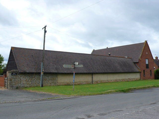
Image: © Nigel Mykura Taken: 23 Jun 2013
This residence is a conversion and expansion of some of the old buildings associated with Fell Mill and Fell Mill Farm. The rather faded signpost shows the directions of Honington, Idlicote, Barcheston, Willington, Burmington, St.Denis and Tysoe.
Images are licensed for reuse under creativecommons.org/licenses/by-sa/2.0
Image Location
Latitude
52.070501
Longitude
-1.609259