View north east along the Dolfor Ridge
Introduction
The photograph on this page of View north east along the Dolfor Ridge by Penny Mayes as part of the Geograph project.
The Geograph project started in 2005 with the aim of publishing, organising and preserving representative images for every square kilometre of Great Britain, Ireland and the Isle of Man.

There are currently over 7.5m images from over 14,400 individuals and you can help contribute to the project by visiting https://www.geograph.org.uk
View north east along the Dolfor Ridge
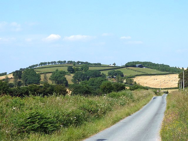
Image: © Penny Mayes Taken: 17 Jul 2013
Hay bales await collection in the field ahead, farmers having made the most of the extended hot dry weather. Blackhill farmhouse is partially obscured by trees in the centre of the shot; storage sheds up the hill behind it. The line of trees on the skyline is seen from the other side in Image
Images are licensed for reuse under creativecommons.org/licenses/by-sa/2.0
Image Location
Latitude
52.487255
Longitude
-3.309026