Montrose Gardens
Introduction
The photograph on this page of Montrose Gardens by Hugh Craddock as part of the Geograph project.
The Geograph project started in 2005 with the aim of publishing, organising and preserving representative images for every square kilometre of Great Britain, Ireland and the Isle of Man.

There are currently over 7.5m images from over 14,400 individuals and you can help contribute to the project by visiting https://www.geograph.org.uk
Montrose Gardens
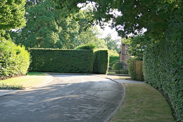
Image: © Hugh Craddock Taken: 24 Jul 2013
The end of Montrose Gardens, a cul-de-sac on the Oxshott Crown Estate. Or not quite the end: visible to the left of the gates into The Willows is a gap between the hedges, which is the rather overgrown eastern terminus of an alleyway linking Montrose Gardens to Broomfield Ride. Given the character of the estate, it's hardly surprising that the alleyway does not seem to be greatly used.
Images are licensed for reuse under creativecommons.org/licenses/by-sa/2.0
Image Location
Latitude
51.338576
Longitude
-0.353182