Wind turbine on the Dolfor Ridge
Introduction
The photograph on this page of Wind turbine on the Dolfor Ridge by Penny Mayes as part of the Geograph project.
The Geograph project started in 2005 with the aim of publishing, organising and preserving representative images for every square kilometre of Great Britain, Ireland and the Isle of Man.

There are currently over 7.5m images from over 14,400 individuals and you can help contribute to the project by visiting https://www.geograph.org.uk
Wind turbine on the Dolfor Ridge
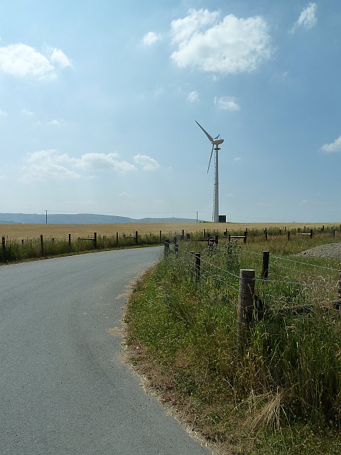
Image: © Penny Mayes Taken: 17 Jul 2013
In the midst of the heatwave of July 2013 we came up out of the Severn valley in search of a breeze ... and failed to find any. The anemometer on top of the turbine was moving slightly but that was it. I believe this solitary turbine to be associated with the nearby farm Genau-hafod.
Images are licensed for reuse under creativecommons.org/licenses/by-sa/2.0
Image Location
Latitude
52.479431
Longitude
-3.317334