Public Footpath near Dafen
Introduction
The photograph on this page of Public Footpath near Dafen by Hywel Williams as part of the Geograph project.
The Geograph project started in 2005 with the aim of publishing, organising and preserving representative images for every square kilometre of Great Britain, Ireland and the Isle of Man.

There are currently over 7.5m images from over 14,400 individuals and you can help contribute to the project by visiting https://www.geograph.org.uk
Public Footpath near Dafen
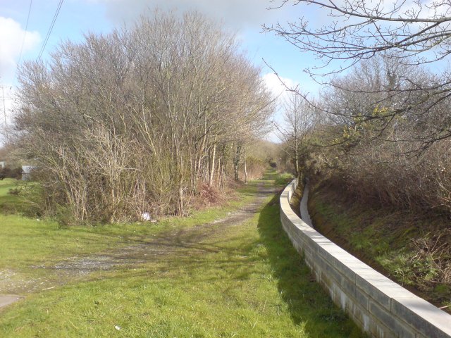
Image: © Hywel Williams Taken: 7 Mar 2007
Looking at historic maps, this public footpath started out life as a railway to serve some of the many small coal mines that existed in this area. Today, a small stream runs alongside the footpath.
Images are licensed for reuse under creativecommons.org/licenses/by-sa/2.0
Image Location


Leaflet Map data © OpenStreetMap
Latitude
51.689963
Longitude
-4.124307