B6403 High Dike
Introduction
The photograph on this page of B6403 High Dike by J.Hannan-Briggs as part of the Geograph project.
The Geograph project started in 2005 with the aim of publishing, organising and preserving representative images for every square kilometre of Great Britain, Ireland and the Isle of Man.

There are currently over 7.5m images from over 14,400 individuals and you can help contribute to the project by visiting https://www.geograph.org.uk
B6403 High Dike
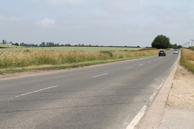
Image: © J.Hannan-Briggs Taken: 14 Jul 2013
The A1 also cuts through the corner of this square.
Images are licensed for reuse under creativecommons.org/licenses/by-sa/2.0
Image Location
Latitude
52.820017
Longitude
-0.613982