Wheat field near Clocks Mill
Introduction
The photograph on this page of Wheat field near Clocks Mill by Philip Halling as part of the Geograph project.
The Geograph project started in 2005 with the aim of publishing, organising and preserving representative images for every square kilometre of Great Britain, Ireland and the Isle of Man.

There are currently over 7.5m images from over 14,400 individuals and you can help contribute to the project by visiting https://www.geograph.org.uk
Wheat field near Clocks Mill
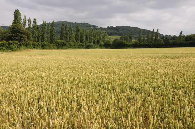
Image: © Philip Halling Taken: 20 Jul 2013
Wheat field viewed from the Wye Valley Walk near Clock Mills. merbach Hill is in the background.
Images are licensed for reuse under creativecommons.org/licenses/by-sa/2.0
Image Location
Latitude
52.102075
Longitude
-3.039586