The junction of Park View and the B113 at Cloghoge (Cloughoge)
Introduction
The photograph on this page of The junction of Park View and the B113 at Cloghoge (Cloughoge) by Eric Jones as part of the Geograph project.
The Geograph project started in 2005 with the aim of publishing, organising and preserving representative images for every square kilometre of Great Britain, Ireland and the Isle of Man.

There are currently over 7.5m images from over 14,400 individuals and you can help contribute to the project by visiting https://www.geograph.org.uk
The junction of Park View and the B113 at Cloghoge (Cloughoge)
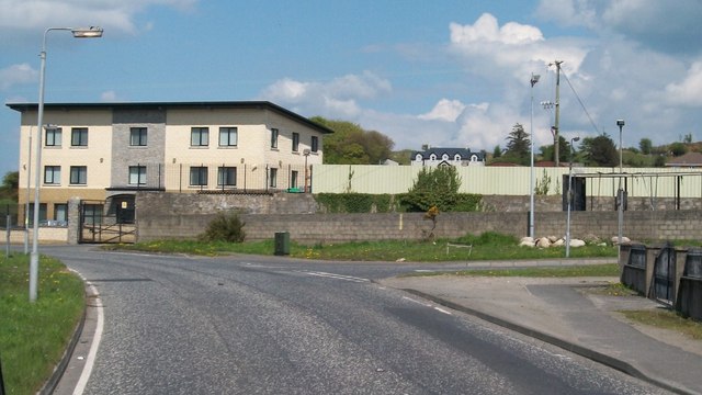
Image: © Eric Jones Taken: 16 May 2013
Park View forms the main axis of the planned village of Cloghoge (Cloughoge).
Images are licensed for reuse under creativecommons.org/licenses/by-sa/2.0
Image Location
Latitude
54.143403
Longitude
-6.356513