Findon Cricket Pavilion
Introduction
The photograph on this page of Findon Cricket Pavilion by Simon Carey as part of the Geograph project.
The Geograph project started in 2005 with the aim of publishing, organising and preserving representative images for every square kilometre of Great Britain, Ireland and the Isle of Man.

There are currently over 7.5m images from over 14,400 individuals and you can help contribute to the project by visiting https://www.geograph.org.uk
Findon Cricket Pavilion
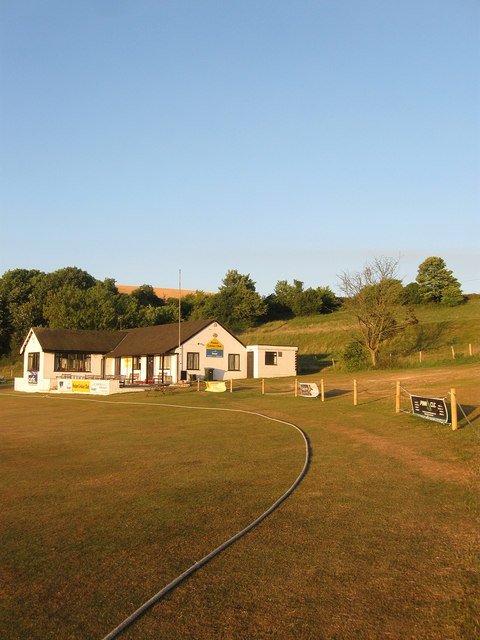
Image: © Simon Carey Taken: 20 Jul 2013
Opened in 1950 and extended since. The banks beyond are spoil created when the slope was landscape to create the ground.
Images are licensed for reuse under creativecommons.org/licenses/by-sa/2.0
Image Location
Latitude
50.869275
Longitude
-0.420938