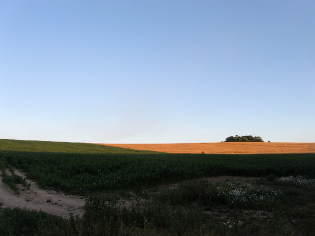
Sheep Down (1)
Introduction
The photograph on this page of Sheep Down (1) by Simon Carey as part of the Geograph project.
The Geograph project started in 2005 with the aim of publishing, organising and preserving representative images for every square kilometre of Great Britain, Ireland and the Isle of Man.
There are currently over 7.5m images from over 14,400 individuals and you can help contribute to the project by visiting https://www.geograph.org.uk

Image: © Simon Carey Taken: 20 Jul 2013
The name of the field according to Findon's 1839 tithe map and the opposite view of Image The clump of trees in the distance is Image whilst the field itself is the site of a former Roman well discovered in 1961 when the ground around it collapsed as a farmer was ploughing the field. Its position tied in with the known site of a Romano-British farm just beyond the small peak. The well was investigated over the next decade and found to be 270 feet in depth, the deepest Roman well that had been discovered at the time, and dry with no artifacts discovered that dated beyond the 1st century which suggests either an abandonment of the farm or the dropping of the water table. The well was eventually capped with concrete.

