Thornton Road, heading towards Thornton Heath Pond
Introduction
The photograph on this page of Thornton Road, heading towards Thornton Heath Pond by Christopher Hilton as part of the Geograph project.
The Geograph project started in 2005 with the aim of publishing, organising and preserving representative images for every square kilometre of Great Britain, Ireland and the Isle of Man.

There are currently over 7.5m images from over 14,400 individuals and you can help contribute to the project by visiting https://www.geograph.org.uk
Thornton Road, heading towards Thornton Heath Pond
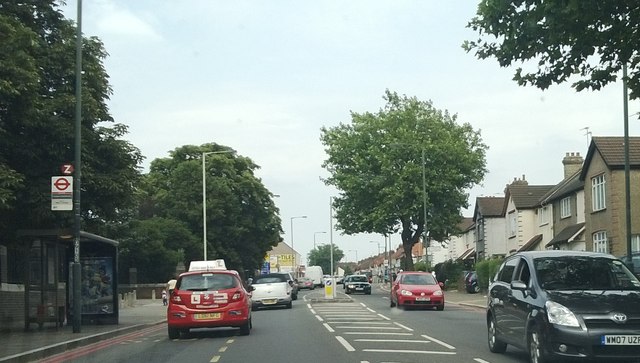
Image: © Christopher Hilton Taken: 23 Jul 2013
Thornton Road forms the north end of the A23's route around Croydon town centre, the route created in the 1920s by the building of Purley Way, and carries heavy traffic as a result.
Images are licensed for reuse under creativecommons.org/licenses/by-sa/2.0
Image Location
Latitude
51.391079
Longitude
-0.119311