By the Taw
Introduction
The photograph on this page of By the Taw by Derek Harper as part of the Geograph project.
The Geograph project started in 2005 with the aim of publishing, organising and preserving representative images for every square kilometre of Great Britain, Ireland and the Isle of Man.

There are currently over 7.5m images from over 14,400 individuals and you can help contribute to the project by visiting https://www.geograph.org.uk
By the Taw
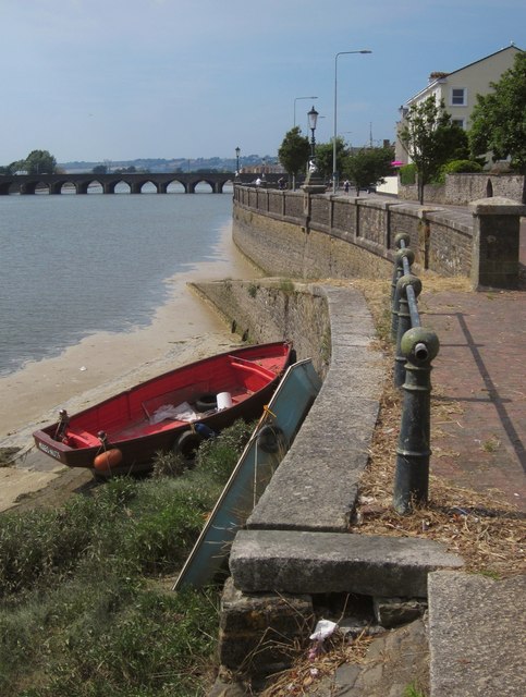
Image: © Derek Harper Taken: 18 Jul 2013
A slipway runs down to the River Taw beside Taw Vale. The reach of the Taw on the left is Westacott Pit. Downstream is Long Bridge.
Images are licensed for reuse under creativecommons.org/licenses/by-sa/2.0
Image Location
Latitude
51.075614
Longitude
-4.055924