Former Church site now redeveloped
Introduction
The photograph on this page of Former Church site now redeveloped by Mat Tuck as part of the Geograph project.
The Geograph project started in 2005 with the aim of publishing, organising and preserving representative images for every square kilometre of Great Britain, Ireland and the Isle of Man.

There are currently over 7.5m images from over 14,400 individuals and you can help contribute to the project by visiting https://www.geograph.org.uk
Former Church site now redeveloped
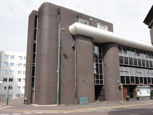
Image: © Mat Tuck Taken: 23 Jul 2013
This site was formerly an Ordnance Survey triangulation point, TP9995 - Congregational Church Pinnacle. Brick office block stands here now.
Images are licensed for reuse under creativecommons.org/licenses/by-sa/2.0
Image Location


Leaflet Map data © OpenStreetMap
Latitude
50.723625
Longitude
-1.905597