Dead end of St. Augustin's Road leading to Meyrick Park
Introduction
The photograph on this page of Dead end of St. Augustin's Road leading to Meyrick Park by Mat Tuck as part of the Geograph project.
The Geograph project started in 2005 with the aim of publishing, organising and preserving representative images for every square kilometre of Great Britain, Ireland and the Isle of Man.

There are currently over 7.5m images from over 14,400 individuals and you can help contribute to the project by visiting https://www.geograph.org.uk
Dead end of St. Augustin's Road leading to Meyrick Park
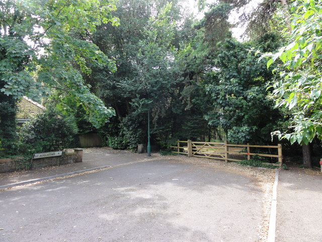
Image: © Mat Tuck Taken: 23 Jul 2013
Wood railings and gate prevents motorised access to Meyrick Park. Footpaths lead straight ahead and to the left once past the railings.
Images are licensed for reuse under creativecommons.org/licenses/by-sa/2.0
Image Location
Latitude
50.731783
Longitude
-1.878376