Field, Cadgerford
Introduction
The photograph on this page of Field, Cadgerford by Richard Webb as part of the Geograph project.
The Geograph project started in 2005 with the aim of publishing, organising and preserving representative images for every square kilometre of Great Britain, Ireland and the Isle of Man.

There are currently over 7.5m images from over 14,400 individuals and you can help contribute to the project by visiting https://www.geograph.org.uk
Field, Cadgerford
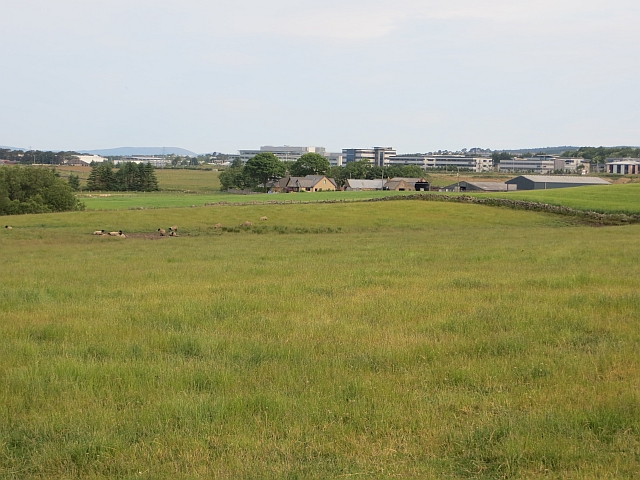
Image: © Richard Webb Taken: 14 Jul 2013
Cadgerford is named in a slightly different typeface by the Ordnance Survey, suggesting a new addition to the map. Also new is Westhill, totally absent from my paper copy of 1:50000 sheet 38. Some of the industrial estates can be seen in the background.
Images are licensed for reuse under creativecommons.org/licenses/by-sa/2.0
Image Location
Latitude
57.138854
Longitude
-2.268806