Ashby Canal: Basin Bridge Winding Hole
Introduction
The photograph on this page of Ashby Canal: Basin Bridge Winding Hole by Nigel Cox as part of the Geograph project.
The Geograph project started in 2005 with the aim of publishing, organising and preserving representative images for every square kilometre of Great Britain, Ireland and the Isle of Man.

There are currently over 7.5m images from over 14,400 individuals and you can help contribute to the project by visiting https://www.geograph.org.uk
Ashby Canal: Basin Bridge Winding Hole
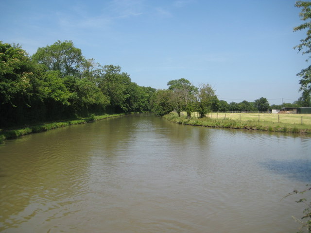
Image: © Nigel Cox Taken: 11 Jul 2013
A winding hole is a short widened reach of canal that enables long narrowboats to be turned through 180 degrees. This one is shown on the earliest currently available edition of the large scale Ordnance Survey mapping from 1888, and is just to the north of Image
Images are licensed for reuse under creativecommons.org/licenses/by-sa/2.0
Image Location
Latitude
52.561142
Longitude
-1.421705