Felled area, Blairadam Forest
Introduction
The photograph on this page of Felled area, Blairadam Forest by Richard Webb as part of the Geograph project.
The Geograph project started in 2005 with the aim of publishing, organising and preserving representative images for every square kilometre of Great Britain, Ireland and the Isle of Man.

There are currently over 7.5m images from over 14,400 individuals and you can help contribute to the project by visiting https://www.geograph.org.uk
Felled area, Blairadam Forest
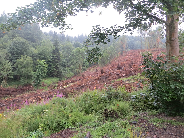
Image: © Richard Webb Taken: 22 Jul 2013
Taken shortly after a lot of the woodland by the two main car parks was felled. This is a slope above the Drumnagoil Burn, near the lower car park.
Images are licensed for reuse under creativecommons.org/licenses/by-sa/2.0
Image Location
Latitude
56.135694
Longitude
-3.40226