Road junction on Titton Lane, near Hartlebury, Worcs
Introduction
The photograph on this page of Road junction on Titton Lane, near Hartlebury, Worcs by P L Chadwick as part of the Geograph project.
The Geograph project started in 2005 with the aim of publishing, organising and preserving representative images for every square kilometre of Great Britain, Ireland and the Isle of Man.

There are currently over 7.5m images from over 14,400 individuals and you can help contribute to the project by visiting https://www.geograph.org.uk
Road junction on Titton Lane, near Hartlebury, Worcs
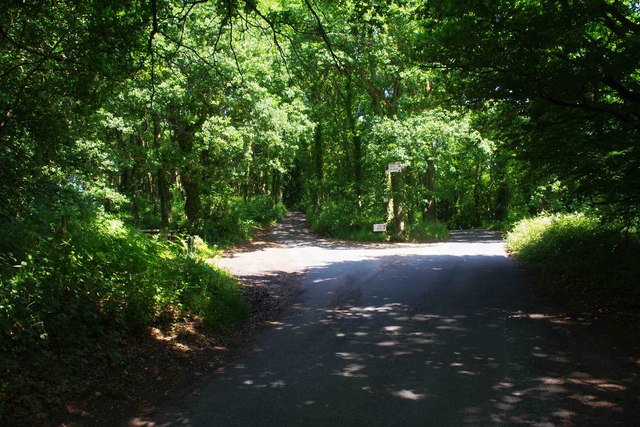
Image: © P L Chadwick Taken: 14 Jul 2013
The road in the middle of the picture leads to a small car park serving visitors to Hartlebury Common, as well as giving access to a few properties. One of these is a plant nursery and the signs at the junction relate to this. The road in the foreground and to the right of the picture is Titton Lane.
Images are licensed for reuse under creativecommons.org/licenses/by-sa/2.0
Image Location
Latitude
52.331413
Longitude
-2.255296