Driffield Sugar Mills - Demolition
Introduction
The photograph on this page of Driffield Sugar Mills - Demolition by John Phillips as part of the Geograph project.
The Geograph project started in 2005 with the aim of publishing, organising and preserving representative images for every square kilometre of Great Britain, Ireland and the Isle of Man.

There are currently over 7.5m images from over 14,400 individuals and you can help contribute to the project by visiting https://www.geograph.org.uk
Driffield Sugar Mills - Demolition
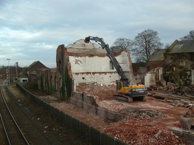
Image: © John Phillips Taken: 16 Jan 2007
The end of an Industrial Landmark in Driffield. The Sugar Mills reduced to rubble.
Images are licensed for reuse under creativecommons.org/licenses/by-sa/2.0
Image Location


Leaflet Map data © OpenStreetMap
Latitude
54.002914
Longitude
-0.430798