Radcliffe-on-Trent, Notts.
Introduction
The photograph on this page of Radcliffe-on-Trent, Notts. by David Hallam-Jones as part of the Geograph project.
The Geograph project started in 2005 with the aim of publishing, organising and preserving representative images for every square kilometre of Great Britain, Ireland and the Isle of Man.

There are currently over 7.5m images from over 14,400 individuals and you can help contribute to the project by visiting https://www.geograph.org.uk
Radcliffe-on-Trent, Notts.
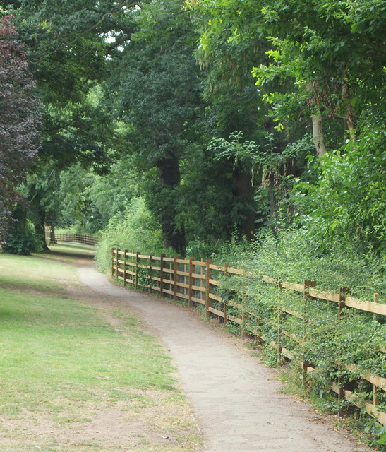
Image: © David Hallam-Jones Taken: 21 Jul 2013
This part of the cliff-top path (the Trent Valley Path) is accessible from Granfield Crescent, off Shelford Road (i.e. the route between Radcliffe and Shelford). The path hugs the edge of the top of a 15-20 foot wide strip of open land situated on the top of long length of shale cliffs overlooking the River Trent (beyond the fence). This cliff-top walk and Rockley Memorial Park (behind the photographer), was given to the town's inhabitants by Mr Lisle Rockley in memory of his son, who was killed at Ypres during WWI. Radcliffe railway station and the town centre lie a 10 minute walk ahead.
Images are licensed for reuse under creativecommons.org/licenses/by-sa/2.0
Image Location
Latitude
52.953123
Longitude
-1.038125