Radcliffe-on-Trent, Notts.
Introduction
The photograph on this page of Radcliffe-on-Trent, Notts. by David Hallam-Jones as part of the Geograph project.
The Geograph project started in 2005 with the aim of publishing, organising and preserving representative images for every square kilometre of Great Britain, Ireland and the Isle of Man.

There are currently over 7.5m images from over 14,400 individuals and you can help contribute to the project by visiting https://www.geograph.org.uk
Radcliffe-on-Trent, Notts.
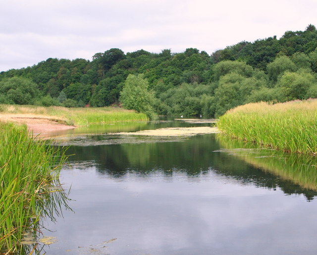
Image: © David Hallam-Jones Taken: 21 Jul 2013
A lake on the flood plain on the eastern bank of the River Trent close to Stoke Weir. It seems hard to determine whether this is a natural lake or whether it was created in the past as the result of the extraction of gravel for use in the concrete production for use the nearby concrete-lined moorings and navigational channels near the weir? Ramblers can reach Stoke weir ahead via a riverside path to the left of this picture (a 3-4 minute walk) and 7-8 minutes walk away, behind the photographer, walkers would normally expect to find themselves at the foot of a series of steps leading up a moderately steep embankment onto the Trent Valley Path, near Rockley Memorial Park (off Park Road), Radcliffe.
Images are licensed for reuse under creativecommons.org/licenses/by-sa/2.0
Image Location
Latitude
52.956785
Longitude
-1.035215