Radcliffe-on-Trent, Notts.
Introduction
The photograph on this page of Radcliffe-on-Trent, Notts. by David Hallam-Jones as part of the Geograph project.
The Geograph project started in 2005 with the aim of publishing, organising and preserving representative images for every square kilometre of Great Britain, Ireland and the Isle of Man.

There are currently over 7.5m images from over 14,400 individuals and you can help contribute to the project by visiting https://www.geograph.org.uk
Radcliffe-on-Trent, Notts.
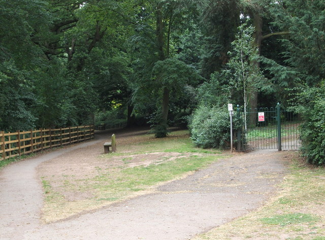
Image: © David Hallam-Jones Taken: 21 Jul 2013
Behind these newly erected wooden railings (2012/2013) heavily wooded shale cliffs drop down towards the River Trent. This cliff-top path, designated The Avenue at this point, extends from Radcliffe towards Gibbet Hill (ahead). The path continues, in both direction, along a 15-20 foot wide strip of open land. This public walk, together with Rockley Memorial Park - an entrance gate to which is seen here - was gifted to the town's inhabitants in 1927 by Mr Lisle Rockley in memory of his son, who was killed at Ypres during WWI. This flower-garden type park can equally be accessed from Park Road, off Shelford Road, (i.e. the B Class road between Radcliffe and Shelford).
Images are licensed for reuse under creativecommons.org/licenses/by-sa/2.0
Image Location
Latitude
52.95339
Longitude
-1.037821