Field beside Drimvore
Introduction
The photograph on this page of Field beside Drimvore by Chris Heaton as part of the Geograph project.
The Geograph project started in 2005 with the aim of publishing, organising and preserving representative images for every square kilometre of Great Britain, Ireland and the Isle of Man.

There are currently over 7.5m images from over 14,400 individuals and you can help contribute to the project by visiting https://www.geograph.org.uk
Field beside Drimvore
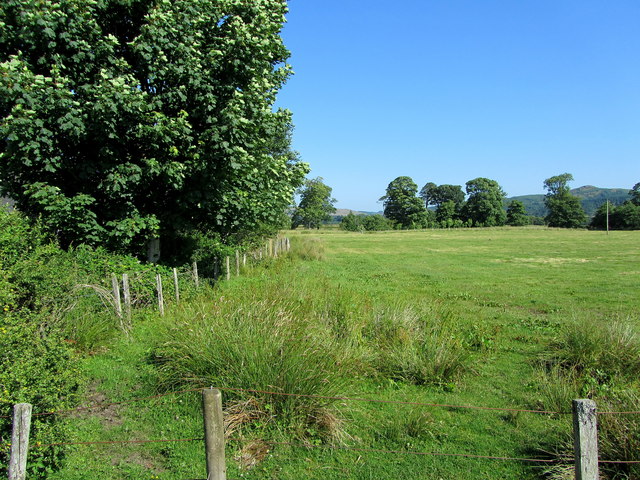
Image: © Chris Heaton Taken: 20 Jul 2013
Pasture seen from the unclassified road to the east and adjacent to the dwelling at Drimvore.
Images are licensed for reuse under creativecommons.org/licenses/by-sa/2.0
Image Location
Latitude
56.092843
Longitude
-5.481817