Site of Glyn Abbey (Pontnewydd) Halt, BP&GVR 1999
Introduction
The photograph on this page of Site of Glyn Abbey (Pontnewydd) Halt, BP&GVR 1999 by Ben Brooksbank as part of the Geograph project.
The Geograph project started in 2005 with the aim of publishing, organising and preserving representative images for every square kilometre of Great Britain, Ireland and the Isle of Man.

There are currently over 7.5m images from over 14,400 individuals and you can help contribute to the project by visiting https://www.geograph.org.uk
Site of Glyn Abbey (Pontnewydd) Halt, BP&GVR 1999
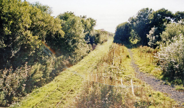
Image: © Ben Brooksbank Taken: 14 Sep 1999
View SW, towards Burry Port: Burry Port & Gwendraeth Valley Light Railway (later GWR) from Cwm Mawr. The line closed to passengers 21/9/53 but carried coal traffic until 1996.
Images are licensed for reuse under creativecommons.org/licenses/by-sa/2.0
Image Location
Latitude
51.742628
Longitude
-4.251499