Radcliffe-on-Trent, Notts
Introduction
The photograph on this page of Radcliffe-on-Trent, Notts by David Hallam-Jones as part of the Geograph project.
The Geograph project started in 2005 with the aim of publishing, organising and preserving representative images for every square kilometre of Great Britain, Ireland and the Isle of Man.

There are currently over 7.5m images from over 14,400 individuals and you can help contribute to the project by visiting https://www.geograph.org.uk
Radcliffe-on-Trent, Notts
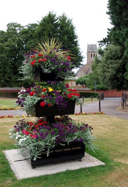
Image: © David Hallam-Jones Taken: 20 Jul 2013
The exit from "The Grange" and the "Grange Hall" function venues out onto Main Road. St Mary's Parish Church, Main Road, is visible in the distance.
Images are licensed for reuse under creativecommons.org/licenses/by-sa/2.0
Image Location
Latitude
52.946397
Longitude
-1.04006