Worcester Park: Central Road (A2043)
Introduction
The photograph on this page of Worcester Park: Central Road (A2043) by Dr Neil Clifton as part of the Geograph project.
The Geograph project started in 2005 with the aim of publishing, organising and preserving representative images for every square kilometre of Great Britain, Ireland and the Isle of Man.

There are currently over 7.5m images from over 14,400 individuals and you can help contribute to the project by visiting https://www.geograph.org.uk
Worcester Park: Central Road (A2043)
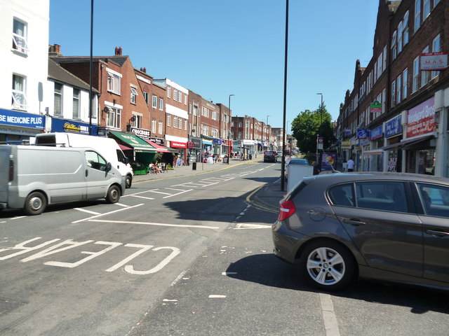
Image: © Dr Neil Clifton Taken: 19 Jul 2013
Looking southeast along this ever-busy road which leads to Cheam and Sutton
Images are licensed for reuse under creativecommons.org/licenses/by-sa/2.0
Image Location
Latitude
51.378965
Longitude
-0.242668