St Aldhelm's Head from Houns-tout Cliff
Introduction
The photograph on this page of St Aldhelm's Head from Houns-tout Cliff by Ian Andrews as part of the Geograph project.
The Geograph project started in 2005 with the aim of publishing, organising and preserving representative images for every square kilometre of Great Britain, Ireland and the Isle of Man.

There are currently over 7.5m images from over 14,400 individuals and you can help contribute to the project by visiting https://www.geograph.org.uk
St Aldhelm's Head from Houns-tout Cliff
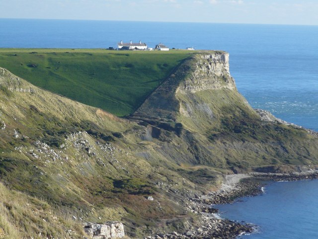
Image: © Ian Andrews Taken: 26 Oct 2010
Looking over Chapman's Pool from Houns-tout. The dark, square looking building in the centre of the group is a chapel. The building on the far right is the coastguard look-out.
Images are licensed for reuse under creativecommons.org/licenses/by-sa/2.0
Image Location


Leaflet Map data © OpenStreetMap
Latitude
50.580664
Longitude
-2.05729