Pasture between Beeby and South Croxton
Introduction
The photograph on this page of Pasture between Beeby and South Croxton by Kate Jewell as part of the Geograph project.
The Geograph project started in 2005 with the aim of publishing, organising and preserving representative images for every square kilometre of Great Britain, Ireland and the Isle of Man.

There are currently over 7.5m images from over 14,400 individuals and you can help contribute to the project by visiting https://www.geograph.org.uk
Pasture between Beeby and South Croxton
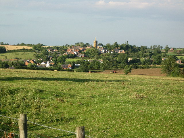
Image: © Kate Jewell Taken: 8 Aug 2005
The view from SK 680 091, where the bridlepath crosses Croxton Road. The land falls away sharply from 125m to 80m across the square. The village of South Croxton, (pronounced Crowson), is in the next square.
Images are licensed for reuse under creativecommons.org/licenses/by-sa/2.0
Image Location


Leaflet Map data © OpenStreetMap
Latitude
52.682454
Longitude
-0.985798