Former sand and gravel pits near Staines seen from the M25 j13
Introduction
The photograph on this page of Former sand and gravel pits near Staines seen from the M25 j13 by Robin Stott as part of the Geograph project.
The Geograph project started in 2005 with the aim of publishing, organising and preserving representative images for every square kilometre of Great Britain, Ireland and the Isle of Man.

There are currently over 7.5m images from over 14,400 individuals and you can help contribute to the project by visiting https://www.geograph.org.uk
Former sand and gravel pits near Staines seen from the M25 j13
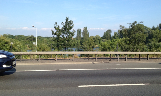
Image: © Robin Stott Taken: 10 Jul 2013
Images are licensed for reuse under creativecommons.org/licenses/by-sa/2.0
Image Location
Latitude
51.441871
Longitude
-0.526742