Marsh Lane, Barton Hill
Introduction
The photograph on this page of Marsh Lane, Barton Hill by Derek Harper as part of the Geograph project.
The Geograph project started in 2005 with the aim of publishing, organising and preserving representative images for every square kilometre of Great Britain, Ireland and the Isle of Man.

There are currently over 7.5m images from over 14,400 individuals and you can help contribute to the project by visiting https://www.geograph.org.uk
Marsh Lane, Barton Hill
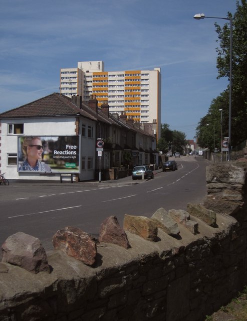
Image: © Derek Harper Taken: 13 Jul 2013
The high rise beyond the terrace is Barton House. The left turn is Herapath Street. Seen from the edge of Netham Park, with wall in foreground.
Images are licensed for reuse under creativecommons.org/licenses/by-sa/2.0
Image Location
Latitude
51.452844
Longitude
-2.559775