Fore Street at the junction of the North Circular Road
Introduction
The photograph on this page of Fore Street at the junction of the North Circular Road by David Howard as part of the Geograph project.
The Geograph project started in 2005 with the aim of publishing, organising and preserving representative images for every square kilometre of Great Britain, Ireland and the Isle of Man.

There are currently over 7.5m images from over 14,400 individuals and you can help contribute to the project by visiting https://www.geograph.org.uk
Fore Street at the junction of the North Circular Road
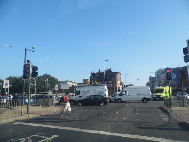
Image: © David Howard Taken: 18 Jul 2013
For at least the third time today there was an accident and associated road closure on or around the North Circular east of London, this time a few miles to the east around the Crooked Billet, and the westbound traffic went as far as Finchley. Luckily I was going in the other direction.
Images are licensed for reuse under creativecommons.org/licenses/by-sa/2.0
Image Location
Latitude
51.614733
Longitude
-0.06458