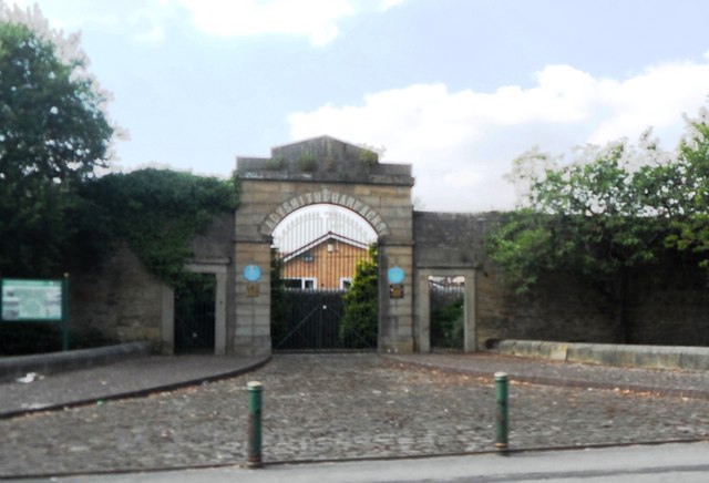
Entrance to the former Ladysmith Barracks
Introduction
The photograph on this page of Entrance to the former Ladysmith Barracks by Anthony Parkes as part of the Geograph project.
The Geograph project started in 2005 with the aim of publishing, organising and preserving representative images for every square kilometre of Great Britain, Ireland and the Isle of Man.
There are currently over 7.5m images from over 14,400 individuals and you can help contribute to the project by visiting https://www.geograph.org.uk

Image: © Anthony Parkes Taken: 18 Jul 2013
The barracks opened in 1843, at that time there was quite a bit of civil unrest when it was felt better to move the soldiers away from the town centre. The barracks were renamed Ladysmith Barracks to commemorate the part the Manchester Regiment played in the Siege of Ladysmith in the Boer War. The barracks closed in 1963 but the splendid gateway, with the golden lettering above the arch is all that now remains.

