Footbridge to Maidenhead Thicket over the A404
Introduction
The photograph on this page of Footbridge to Maidenhead Thicket over the A404 by Robin Stott as part of the Geograph project.
The Geograph project started in 2005 with the aim of publishing, organising and preserving representative images for every square kilometre of Great Britain, Ireland and the Isle of Man.

There are currently over 7.5m images from over 14,400 individuals and you can help contribute to the project by visiting https://www.geograph.org.uk
Footbridge to Maidenhead Thicket over the A404
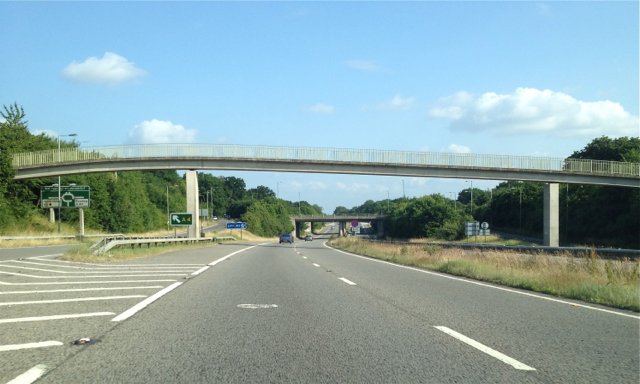
Image: © Robin Stott Taken: 10 Jul 2013
The footbridge carries a public footpath from a car park on the Henley Road (out of shot left, formerly the A423T) across the dual carriageway into Maidenhead Thicket, a woodland, right. The A404 becomes the A404(M) at the junction with the A4, ahead.
Images are licensed for reuse under creativecommons.org/licenses/by-sa/2.0
Image Location
Latitude
51.520251
Longitude
-0.76564