Hillside above Devil's Bridge
Introduction
The photograph on this page of Hillside above Devil's Bridge by Bill Boaden as part of the Geograph project.
The Geograph project started in 2005 with the aim of publishing, organising and preserving representative images for every square kilometre of Great Britain, Ireland and the Isle of Man.

There are currently over 7.5m images from over 14,400 individuals and you can help contribute to the project by visiting https://www.geograph.org.uk
Hillside above Devil's Bridge
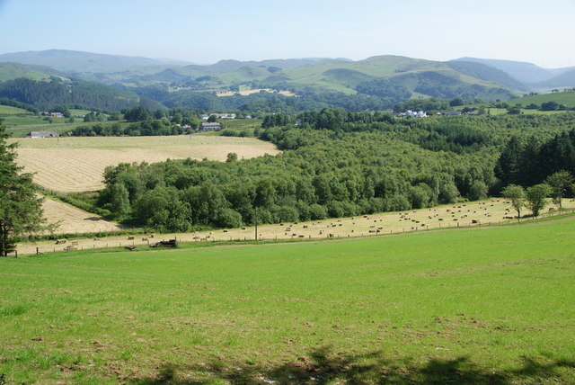
Image: © Bill Boaden Taken: 11 Jul 2013
Looking over farmland and woodland to the point where the Rheidol and Mynach rivers meet.
Images are licensed for reuse under creativecommons.org/licenses/by-sa/2.0
Image Location
Latitude
52.368206
Longitude
-3.865423