Ashby Canal: Reach near Bramcote
Introduction
The photograph on this page of Ashby Canal: Reach near Bramcote by Nigel Cox as part of the Geograph project.
The Geograph project started in 2005 with the aim of publishing, organising and preserving representative images for every square kilometre of Great Britain, Ireland and the Isle of Man.

There are currently over 7.5m images from over 14,400 individuals and you can help contribute to the project by visiting https://www.geograph.org.uk
Ashby Canal: Reach near Bramcote
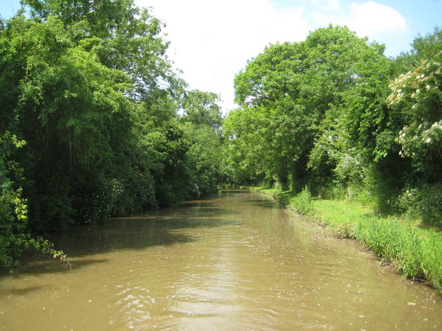
Image: © Nigel Cox Taken: 8 Jul 2013
This is the wooded approach to the sandstone cutting from the east side. The canal here has noticeably widened out.
Images are licensed for reuse under creativecommons.org/licenses/by-sa/2.0
Image Location


Leaflet Map data © OpenStreetMap
Latitude
52.496618
Longitude
-1.426823