Entrance to Honington
Introduction
The photograph on this page of Entrance to Honington by Nigel Mykura as part of the Geograph project.
The Geograph project started in 2005 with the aim of publishing, organising and preserving representative images for every square kilometre of Great Britain, Ireland and the Isle of Man.

There are currently over 7.5m images from over 14,400 individuals and you can help contribute to the project by visiting https://www.geograph.org.uk
Entrance to Honington
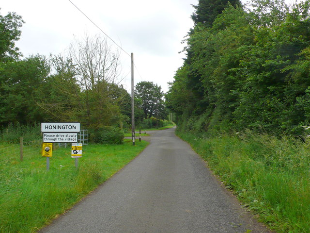
Image: © Nigel Mykura Taken: 23 Jun 2013
This is the village name sign at the northern end of the villager where the minor road from Halford arrives. The left hand yellow sign is a Neighbourhood watch sign and the right hand one is a police sign indicating "smart water" is in use in the area.
Images are licensed for reuse under creativecommons.org/licenses/by-sa/2.0
Image Location
Latitude
52.082462
Longitude
-1.610468