Ashby Canal: Reach near Mill Farm Park
Introduction
The photograph on this page of Ashby Canal: Reach near Mill Farm Park by Nigel Cox as part of the Geograph project.
The Geograph project started in 2005 with the aim of publishing, organising and preserving representative images for every square kilometre of Great Britain, Ireland and the Isle of Man.

There are currently over 7.5m images from over 14,400 individuals and you can help contribute to the project by visiting https://www.geograph.org.uk
Ashby Canal: Reach near Mill Farm Park
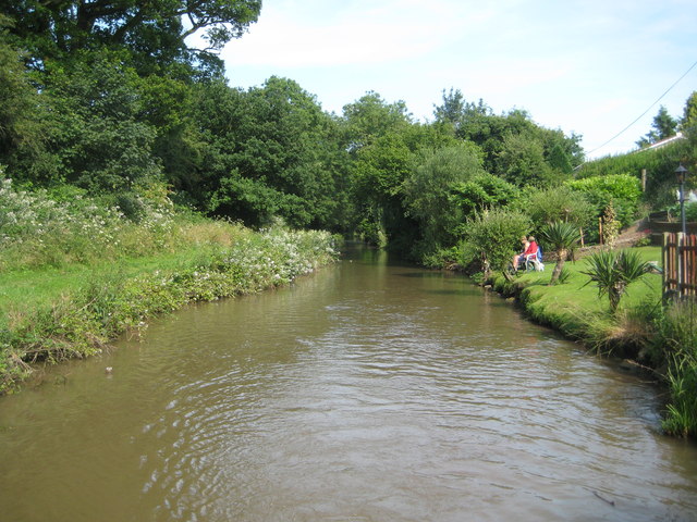
Image: © Nigel Cox Taken: 11 Jul 2013
To the east of Image the canal has been cut through sandstone and the bank on the south side, now occupied by the Mill Farm Park mobile home site, was once the site of several quarries (described as "old" on the 1888 Ordnance Survey large scale map). Two gentlemen enjoy some angling from one of the few mobile home sites with a lawn down to the canal.
Images are licensed for reuse under creativecommons.org/licenses/by-sa/2.0
Image Location
Latitude
52.497178
Longitude
-1.431088