The M1, Dunmurry (2013-2)
Introduction
The photograph on this page of The M1, Dunmurry (2013-2) by Albert Bridge as part of the Geograph project.
The Geograph project started in 2005 with the aim of publishing, organising and preserving representative images for every square kilometre of Great Britain, Ireland and the Isle of Man.

There are currently over 7.5m images from over 14,400 individuals and you can help contribute to the project by visiting https://www.geograph.org.uk
The M1, Dunmurry (2013-2)
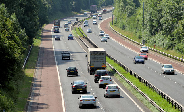
Image: © Albert Bridge Taken: 17 Jul 2013
See Image The view, from the same bridge, towards Lisburn and Dungannon on a hot and sunny mid-summer day. Image shows a similar view during fog in February 2007 and Image in May 1980 when traffic was much lighter and there was no crash barrier.
Images are licensed for reuse under creativecommons.org/licenses/by-sa/2.0
Image Location
Latitude
54.549377
Longitude
-5.996183