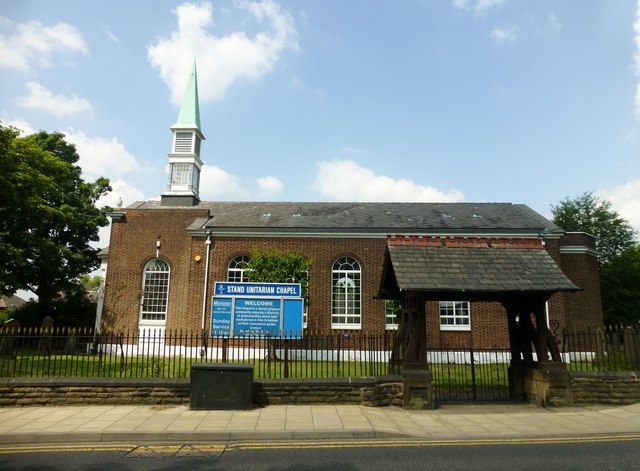
Stand Unitarian Chapel
Introduction
The photograph on this page of Stand Unitarian Chapel by Rude Health as part of the Geograph project.
The Geograph project started in 2005 with the aim of publishing, organising and preserving representative images for every square kilometre of Great Britain, Ireland and the Isle of Man.
There are currently over 7.5m images from over 14,400 individuals and you can help contribute to the project by visiting https://www.geograph.org.uk

Image: © Rude Health Taken: 17 Jul 2013
There has been a dissenting congregation at Stand since 1662 and the first chapel was built in 1693. It was rebuilt in 1818 and was destroyed by bombing in 1940. The present chapel was built in 1952 with a schoolroom, where many of the activities take place, being added in 1975. Our congregation is independent, self-governing and self-supporting. We are affiliated to the General Assembly of Unitarian and Free Christian Churches. The General Assembly offers help on most aspects of church life and deals with matters of concern to the movement as a whole.

