
Terrace at Queen's Square, TS1
Introduction
The photograph on this page of Terrace at Queen's Square, TS1 by Mike Quinn as part of the Geograph project.
The Geograph project started in 2005 with the aim of publishing, organising and preserving representative images for every square kilometre of Great Britain, Ireland and the Isle of Man.

There are currently over 7.5m images from over 14,400 individuals and you can help contribute to the project by visiting https://www.geograph.org.uk
Terrace at Queen's Square, TS1
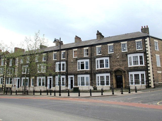
Image: © Mike Quinn Taken: 17 Jun 2013
Another view of this lovely terrace is shown in Image (photographed by Mick Garratt). The Evening Gazette's "history" page http://rememberwhen.gazettelive.co.uk/2013/04/queens-square-middlesbroughthe.html says that "Queen's Square, situated in the parish of St Hilda's was at one time the centre of the financial and commercial district of Middlesbrough. Several imposing buildings graced both sides of the wide street, which was given the name 'square' although technically it is not. However, Queen's Square was a large open space in an otherwise densely built and populated urban area". Shows the locations of Image and Image
Images are licensed for reuse under creativecommons.org/licenses/by-sa/2.0
Image Location

Latitude
54.580288
Longitude
-1.234324