Cows, Meenacrane
Introduction
The photograph on this page of Cows, Meenacrane by Kenneth Allen as part of the Geograph project.
The Geograph project started in 2005 with the aim of publishing, organising and preserving representative images for every square kilometre of Great Britain, Ireland and the Isle of Man.

There are currently over 7.5m images from over 14,400 individuals and you can help contribute to the project by visiting https://www.geograph.org.uk
Cows, Meenacrane
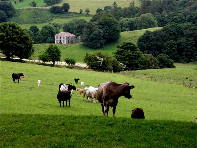
Image: © Kenneth Allen Taken: 16 Jul 2013
Looking south-east from Glenelly Road. In the background is the disused rectory, which looks like a bit like Father Ted's residence as it is set in the middle of a grass field Image]
Images are licensed for reuse under creativecommons.org/licenses/by-sa/2.0
Image Location
Latitude
54.770111
Longitude
-7.119936