Across the valley to Fedw
Introduction
The photograph on this page of Across the valley to Fedw by John S Turner as part of the Geograph project.
The Geograph project started in 2005 with the aim of publishing, organising and preserving representative images for every square kilometre of Great Britain, Ireland and the Isle of Man.

There are currently over 7.5m images from over 14,400 individuals and you can help contribute to the project by visiting https://www.geograph.org.uk
Across the valley to Fedw
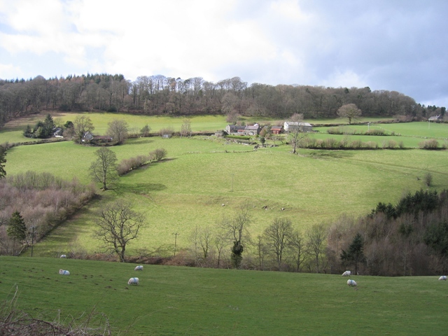
Image: © John S Turner Taken: 6 Mar 2007
Looking across the valley from Tan-y-Fron to the area named Fedw on the map, although I don't know if that is the name of the farm as well. There is a stream in the bottom of the valley, indicated by the tree line, which used to power Carrog Corn Mill further down. Somewhat surprisingly, everything in view is in the same square.
Images are licensed for reuse under creativecommons.org/licenses/by-sa/2.0
Image Location
Latitude
52.989261
Longitude
-3.333841