Bridleway starting at Mynydd Bach
Introduction
The photograph on this page of Bridleway starting at Mynydd Bach by Bill Boaden as part of the Geograph project.
The Geograph project started in 2005 with the aim of publishing, organising and preserving representative images for every square kilometre of Great Britain, Ireland and the Isle of Man.

There are currently over 7.5m images from over 14,400 individuals and you can help contribute to the project by visiting https://www.geograph.org.uk
Bridleway starting at Mynydd Bach
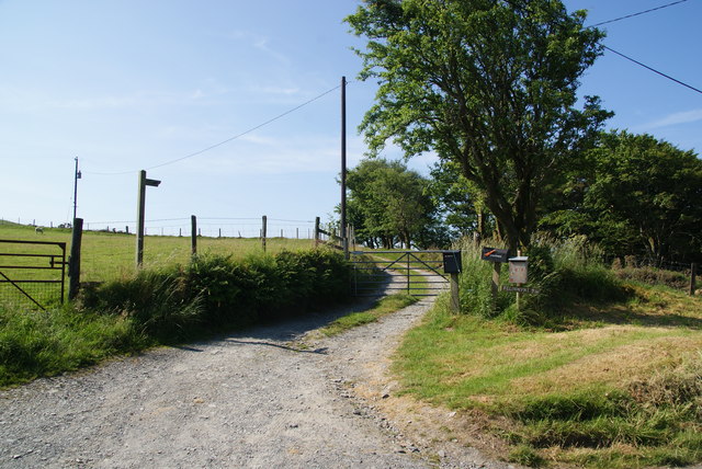
Image: © Bill Boaden Taken: 11 Jul 2013
It goes along the ridge then round the south side of Pen Felin-wynt.
Images are licensed for reuse under creativecommons.org/licenses/by-sa/2.0
Image Location


Leaflet Map data © OpenStreetMap
Latitude
52.371613
Longitude
-3.883047