Railway Bridge, Sanford Road, Torquay
Introduction
The photograph on this page of Railway Bridge, Sanford Road, Torquay by Derek Harper as part of the Geograph project.
The Geograph project started in 2005 with the aim of publishing, organising and preserving representative images for every square kilometre of Great Britain, Ireland and the Isle of Man.

There are currently over 7.5m images from over 14,400 individuals and you can help contribute to the project by visiting https://www.geograph.org.uk
Railway Bridge, Sanford Road, Torquay
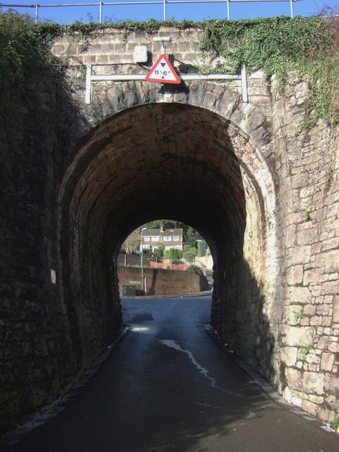
Image: © Derek Harper Taken: 3 Mar 2007
Sanford Road, a turning off Avenue Road, squeezes under the Torre-Torquay railway line. The bridge is named St Clairs Stone. The houses beyond are in Pilmuir Avenue.
Images are licensed for reuse under creativecommons.org/licenses/by-sa/2.0
Image Location
Latitude
50.469428
Longitude
-3.545025