Fly tipping on Rock Road
Introduction
The photograph on this page of Fly tipping on Rock Road by Phil Williams as part of the Geograph project.
The Geograph project started in 2005 with the aim of publishing, organising and preserving representative images for every square kilometre of Great Britain, Ireland and the Isle of Man.

There are currently over 7.5m images from over 14,400 individuals and you can help contribute to the project by visiting https://www.geograph.org.uk
Fly tipping on Rock Road
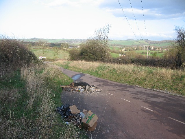
Image: © Phil Williams Taken: 6 Mar 2007
A view looking to the northeast across a parking area on Rock Road. The junction with Cleave Lane is at the end of the lane. The village of Doynton is visible beyond the power cables, with the ridge of the lower Cotswolds forming the horizon.
Images are licensed for reuse under creativecommons.org/licenses/by-sa/2.0
Image Location


Leaflet Map data © OpenStreetMap
Latitude
51.462413
Longitude
-2.421706