The Mill House & Millers Cottage, Brick Kiln Lane
Introduction
The photograph on this page of The Mill House & Millers Cottage, Brick Kiln Lane by John Baker as part of the Geograph project.
The Geograph project started in 2005 with the aim of publishing, organising and preserving representative images for every square kilometre of Great Britain, Ireland and the Isle of Man.

There are currently over 7.5m images from over 14,400 individuals and you can help contribute to the project by visiting https://www.geograph.org.uk
The Mill House & Millers Cottage, Brick Kiln Lane
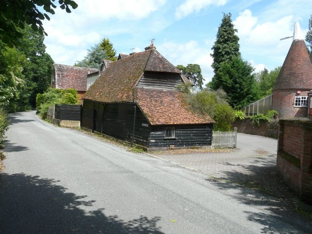
Image: © John Baker Taken: 30 Jun 2013
The dormer windows of The Mill House can be seen behind the barn; Millers Cottage is beyond at right angles to the road. Both are grade II listed, dating from early 18th century and mid 19th century http://www.britishlistedbuildings.co.uk/en-169840-mill-house-millers-cottage-horsmonden-ke
Images are licensed for reuse under creativecommons.org/licenses/by-sa/2.0
Image Location
Latitude
51.129681
Longitude
0.447766