River Brit at Pymore
Introduction
The photograph on this page of River Brit at Pymore by Stephen Williams as part of the Geograph project.
The Geograph project started in 2005 with the aim of publishing, organising and preserving representative images for every square kilometre of Great Britain, Ireland and the Isle of Man.

There are currently over 7.5m images from over 14,400 individuals and you can help contribute to the project by visiting https://www.geograph.org.uk
River Brit at Pymore
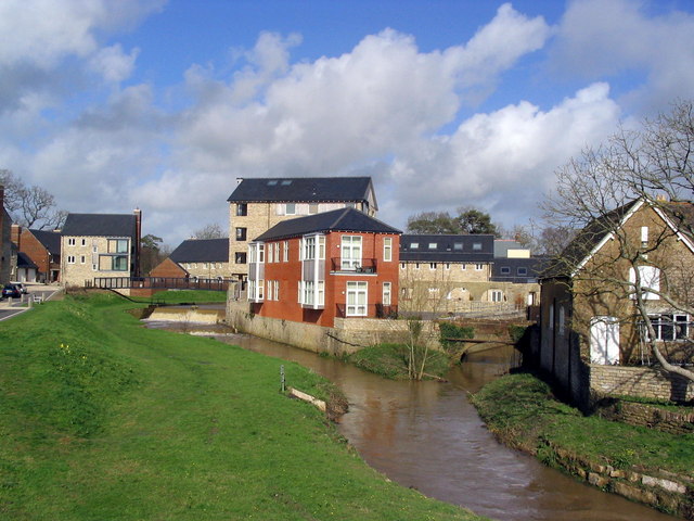
Image: © Stephen Williams Taken: 6 Mar 2007
The River Brit (right fork) is joined from the left by a stream which has just crossed a weir, beyond which is a large pond. The housing development is only a few years old, and incorporates many old features - much of the site was once industrial.
Images are licensed for reuse under creativecommons.org/licenses/by-sa/2.0
Image Location
Latitude
50.748299
Longitude
-2.752887