Caddington from the air
Introduction
The photograph on this page of Caddington from the air by M J Richardson as part of the Geograph project.
The Geograph project started in 2005 with the aim of publishing, organising and preserving representative images for every square kilometre of Great Britain, Ireland and the Isle of Man.

There are currently over 7.5m images from over 14,400 individuals and you can help contribute to the project by visiting https://www.geograph.org.uk
Caddington from the air
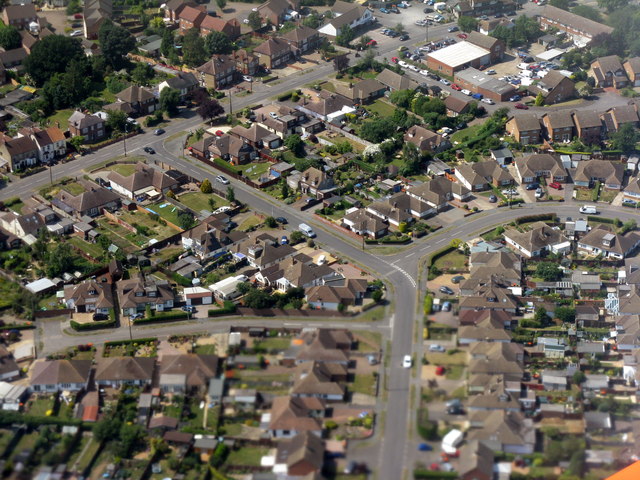
Image: © M J Richardson Taken: 11 Jul 2013
Looking along Elm Avenue to its T-junction with Manor Road, with The Crescent going off to the right and The Dell on the left.
Images are licensed for reuse under creativecommons.org/licenses/by-sa/2.0
Image Location
Latitude
51.864249
Longitude
-0.458812