An estate track, Denbies vineyard
Introduction
The photograph on this page of An estate track, Denbies vineyard by Stefan Czapski as part of the Geograph project.
The Geograph project started in 2005 with the aim of publishing, organising and preserving representative images for every square kilometre of Great Britain, Ireland and the Isle of Man.

There are currently over 7.5m images from over 14,400 individuals and you can help contribute to the project by visiting https://www.geograph.org.uk
An estate track, Denbies vineyard
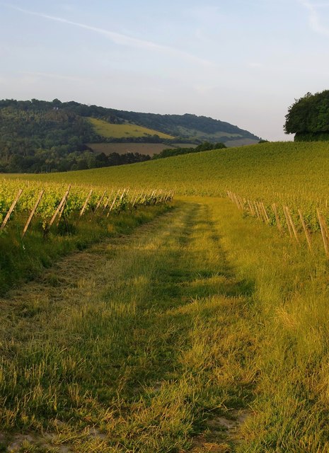
Image: © Stefan Czapski Taken: 10 Jul 2013
View roughly eastward, with Boxhill visible on the far side of the Mole Gap. Photo taken at about 7.45pm in the second week of July.
Images are licensed for reuse under creativecommons.org/licenses/by-sa/2.0
Image Location
Latitude
51.242318
Longitude
-0.33155