River Weaver Navigation, rail viaduct, by Hunts Lock , Northwich
Introduction
The photograph on this page of River Weaver Navigation, rail viaduct, by Hunts Lock , Northwich by john mcguire as part of the Geograph project.
The Geograph project started in 2005 with the aim of publishing, organising and preserving representative images for every square kilometre of Great Britain, Ireland and the Isle of Man.

There are currently over 7.5m images from over 14,400 individuals and you can help contribute to the project by visiting https://www.geograph.org.uk
River Weaver Navigation, rail viaduct, by Hunts Lock , Northwich
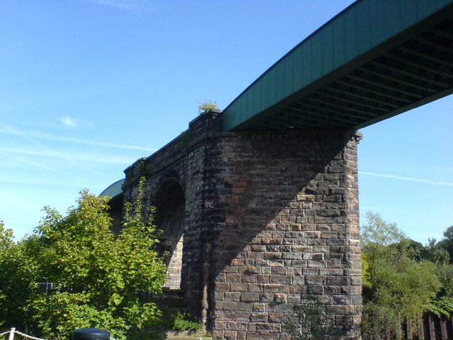
Image: © john mcguire Taken: 6 Jul 2006
Photo taken from children's playground off Yarwood Close (new estate off Spencer Street), Castle, Northwich.
Images are licensed for reuse under creativecommons.org/licenses/by-sa/2.0
Image Location
Latitude
53.253422
Longitude
-2.518257